|
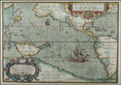
Caroline Islands
Today this is most of Micronesia, and includes the islands of Palau, Yap, Ponape, and Truk.
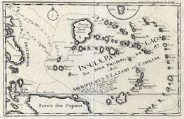 |
Stocklein, 1726
Caroline Islands, with many of the islands named individually (although the quality of the image is too poor to make them out). The Carolines are the large group in the center right. Guam is the island at the top, the Philippines on the left, the Moluccas lower left corner, and Papua New Guinea ("land of the Papous") at the bottom. While the general sense of the map is fine, many of the details (islands, names, etc.) are completely fictitious - including the large island in the upper center (labeled "Panlog"). |
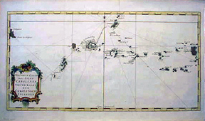 |
Bellin, 1750
A detailed sea chart of the Caroline Islands. |
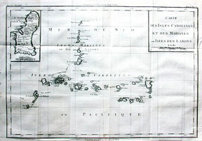 |
de la Tour, 1797
Chart of the Carolines (lower set of islands, horizontal orientation) and Marianas (upper set, vertical orientation. |
|